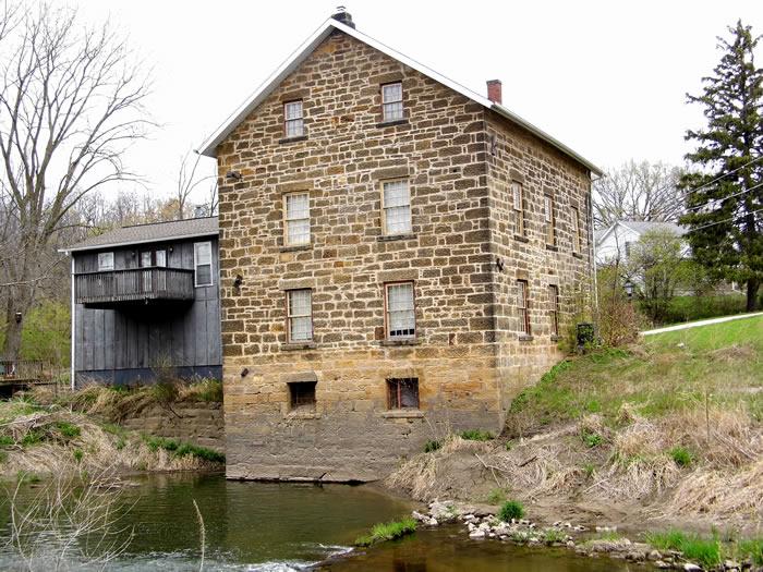
Unionville Mill / Annan Mill
Whiteside Co. | Illinois | USA
Watersource: Rock Creek.
Unionville Mill / Annan Mill
From the junction of Sr 78 & Us 30 in Morrison, Il, go west on US 30 approximately one mile to the mill on left, on the west side of Rock Creek.

The 32' X 42' mill was built in 1858-59 by William Annan and John A. Robertson. The brush dam was replaced with a frame dam by Mr. Annan in 1862.
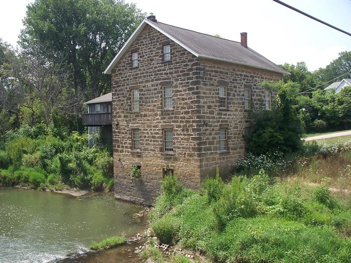
The mill could grind 10-16 bushels of wheat per hour using 3 run of large stone and one of small stone.
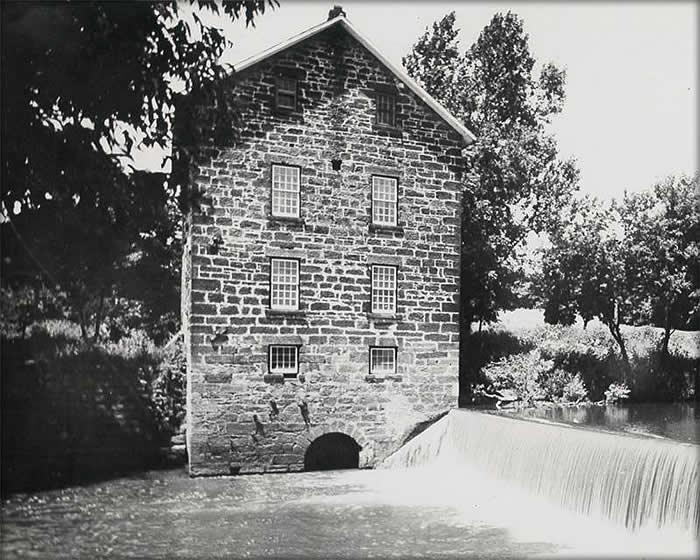
The placement of the dam can be seen in this photo from the early 1900's found on the Friends of Annan Mill Facebook page.
Mr. Annan arrived in Unionville in 1849 and purchased an interest in a saw mill, which stood on the site of the present grist mill. Annan, along with Robertson, operated the saw mill until timber became scarce. At that time they tore down the saw mill and built the grist mill. Shortly after building the grist mill Annan bought out Robertson.
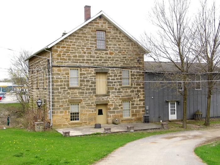
The Tiltons bought the old grist mill in Morrison in 1990. At that time the mill had sat empty for about 40 or 50 years.
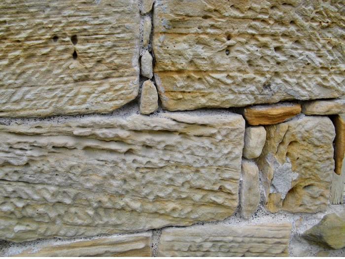
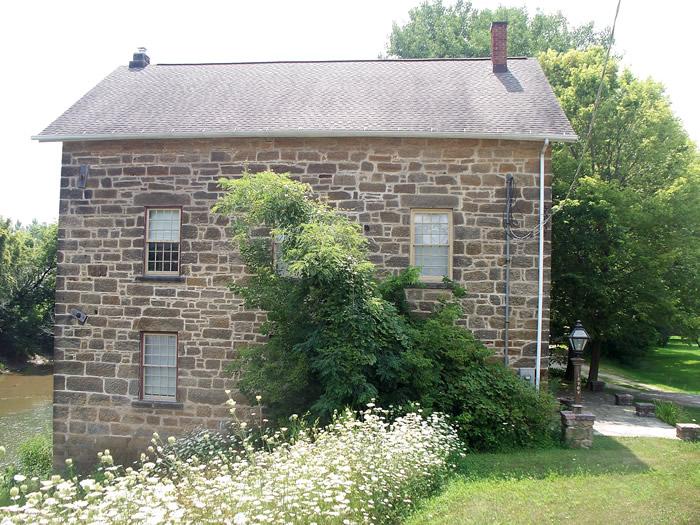
Sandstone wall near the front door. The Tiltons put in electricity, plumping, and some interior walls. The original building features it's original wood floors and steps. The back addition was already on the building when they bought the property, so they turned it into winter living space and a garage.
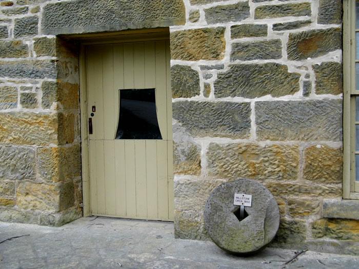
The original building doesn't get very warm in the winter so that was the reason for the winter living section above the garage. The original building has walls that are about 4 feet thick at the ground floor about 1 1/2 feet thick in the attic area.
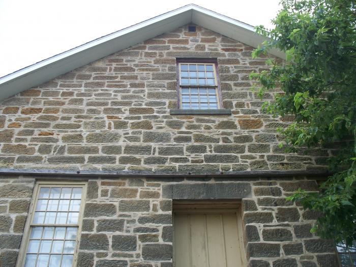
The mill was for sale in 2014 for $170,000. This is certainly a great piece of Morrison's history. The 1860 Annan Grist Mill, said to be one of the most photographed mills in the United States, is situated on a 2.23 acre site.
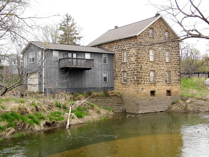
Compare this photo with the vintage photo of 1900. With the dam in place, the the inlet arch is on the rear and the outlet arch is on the left of the rear of the mill. Compare using the two small windows on the rear near the water level of Rock Creek.GPS: 41° 48.97'N, 89° 58.86'W ele 633'/193 meters Morrison Quadrangle