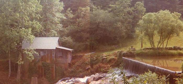
Pardue Mill
Habersham Co. | Georgia | USA
Watersource: Pardue Mill Creek
Pardue Mill
Travel four & half miles southwest of Clarkesville on Sh 115, then south/left on Pardue Mill Road about half mile to the mill right at Pardue Mill Creek bridge down below the dam.

The mill was originally built in the 1930's and stayed operational until the mid-1960's, grinding corn into flour. Photos by Bud Welborn, 2008.
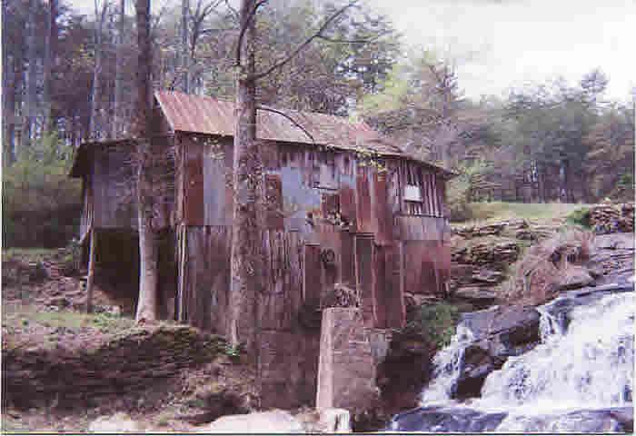
The original owner built the mill house, a barn directly above the mill on the hill, and a house between the mill and the road. The house no longer stands but the mill and barn remain. The mill is pictured from below the main shoals.
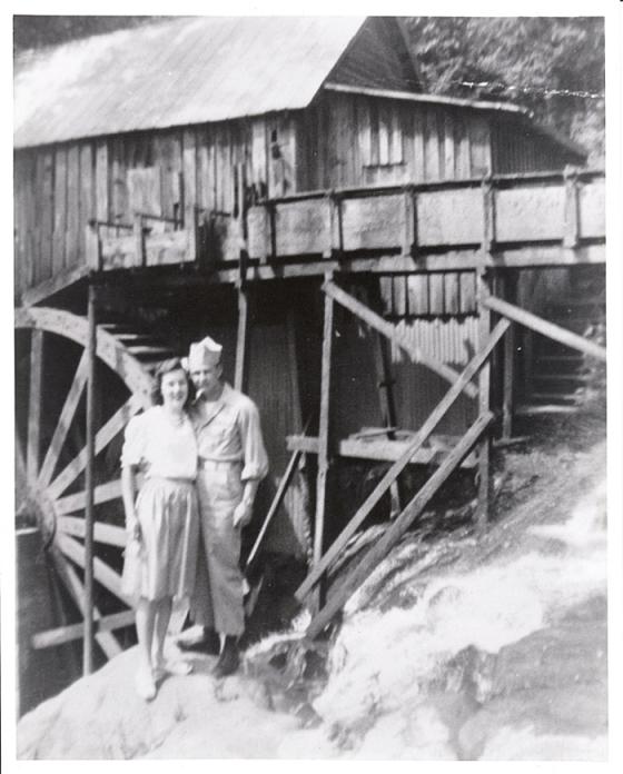
A 1945 photo showing the mill, 10-15 years old, with the original owners/builders. The original mill wheel, seen in the photo, measured 18 feet in diameter and 4 feet wide.
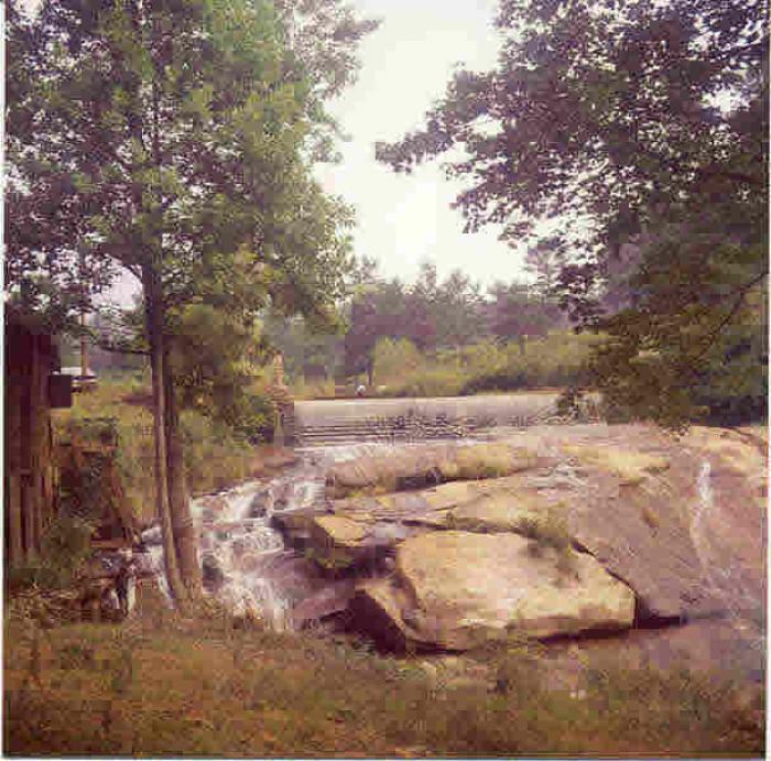
The main shoals beside the mill and below the dam on Pardue Mill Creek.
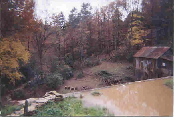
This property contains 14.84 acres and has approximately 3000 feet of water frontage bordering the property, made up of two creeks that join on the lower portion of the land plot. The mill house contains a set of horizontal mill stones, and a corn sheller. A restored dam, measuring 7 feet tall by 48 feet wide creates a mill pond that extends to a newly rebuilt county bridge. This view of the mill looking over the dam.
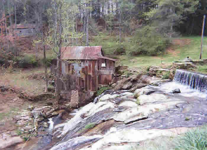
There are numerous sets of shoals on the property. The largest set of shoals is located in front of the mill house and measures approximately 60 feet from the top of the dam to a white sand beach below. GPS: 34? 35.6'N, 83? 35.13'W 1,302 feet-397 meters Clarkesville Quadrangle