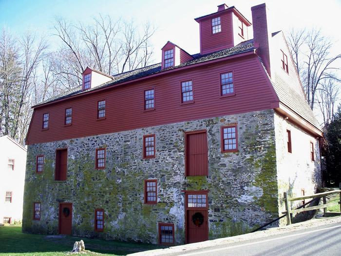
Nathaniel Newlin Grist Mill
Delaware Co. | Pennsylvania | USA
Watersource: W. Br. Chester Creek.
Nathaniel Newlin Grist Mill
Just off US 1 on S. Cheney Rd. 1 mile east of Concordville at the community of Markham. Go several hehundred yds. up S> Cheney Rd. to the mill and miller's house on the left.
View Larger Map

The 4.5 story stone/frame grist mill was built on land settled by Nathaniel's father in 1685, when King Charles II was on England's throne. The 35'x70' mill was actually built a little later, in 1704, during Queen Anne's reign.
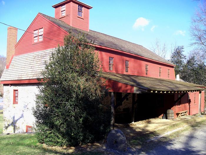
In 1739, a miller's house was built of 2 story stone. This was when George II was ruling and Pennsylvania was still a colony of England. The mill stayed in the family until 1817.
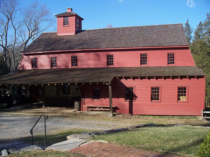
The wheel supplied 2 sets of stone, a 42 inch set and a 48 inch in diameter set. The mill also contains parts of an up-and-down saw mill.
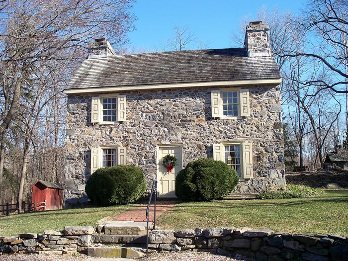
The mill, miller's house, and grounds, 3.5 acres, were bought in 1957 by Mortimer Newlin, a 9th decendent from Nicholas and the restoration was begun.
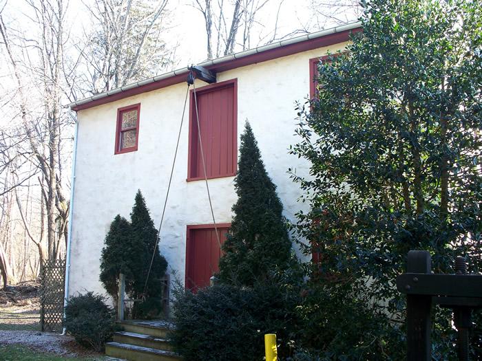
An auxillary building, probably used for storage to the east side of the mill, below the miller's house. The mill is operated by the Nicholas Newlin Foundation.
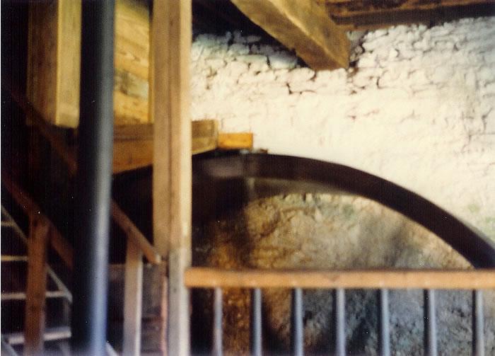
The large, replaced, overshot wheel inside measures 16'x4' with 52 buckets implanted on it. Most of the interior mechanisms and gearing were either rotted or extremely brittle with age and had to be restored. Corn and grain can be ground again. The grounds also contain a period spring house; moved here and placed over a springhead, a blacksmith shop (stone) built over the ruins of an old forge using some of the same stones, and a log cabin reception center/gift shop.
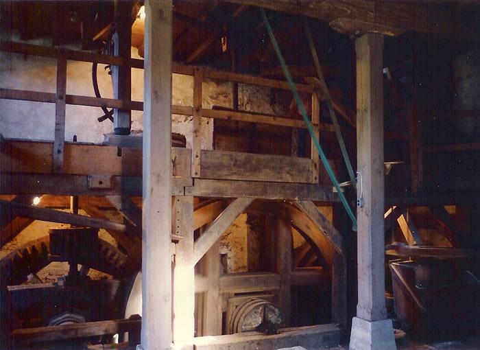
Some of the gearing mechanism needed to transfer the power from the waterwheel to the buhr stones. The mill is on the National Register of Historic Places.
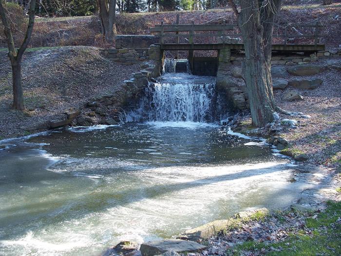
A release for water from the headrace to waste any flow to great for the mill to handle.
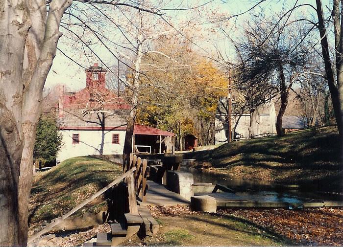
The fairly lengthy headrace comes from two dams upstream. The millrace comes off the dam on the W. Br. of Chester Cr., then connects with a 0.75 mile mill race coming off a dam on a tributary, Wade Run.
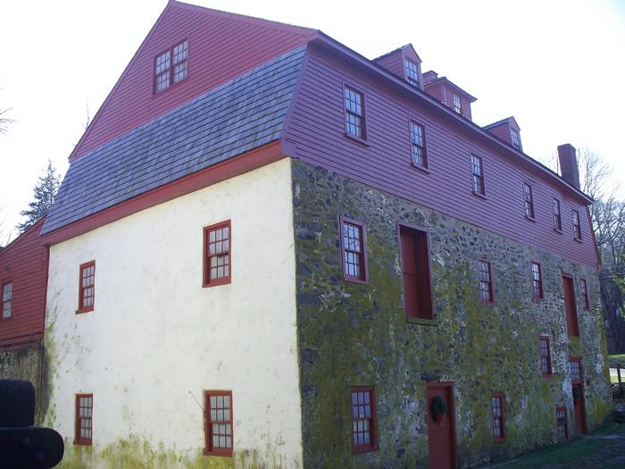
It operated almost continually up to 1941.GPS: 39' 53.42'N, 75' 30.33'W Ele. 276'/84 meters West Chester Quadrangle