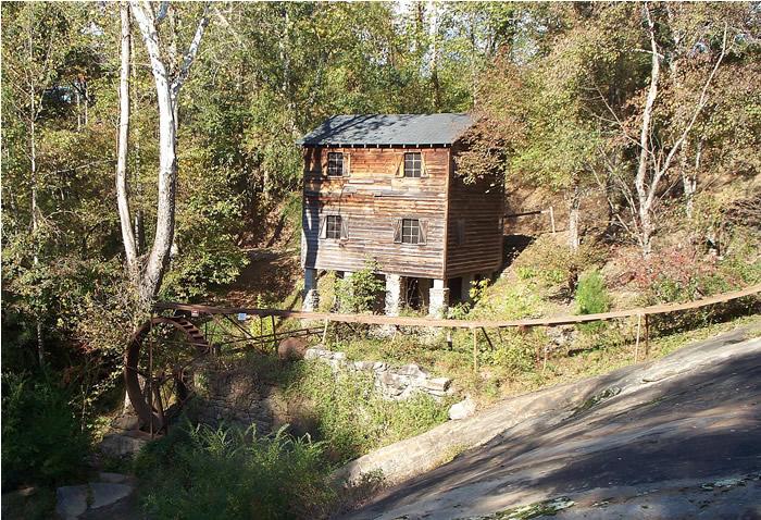
Meytre Mill
Burke Co. | North Carolina | USA
Watersource: Tributary of Cataba River.
Meytre Mill
From Hickory, go west on I-40 to exit 112 at Valdese. Go north into Valdese on Eldred St SE and turn west/left on Main Street, go 0.8 miles to Church Street. Turn right/north on Church St. and go about 1.5 miles to McGalliad Falls Park on the right. Park in the parking lot and take a short walk to the mill.
View Larger Map

The mill, built in 1906 by Fred Meytre, was the Meytre Grist Mill, situated at the McGalliard Falls.
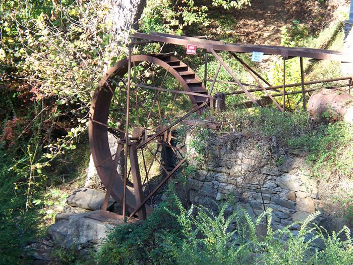
The waterwheel measures approximately 2.5 feet in width by 16 feet in diameter.
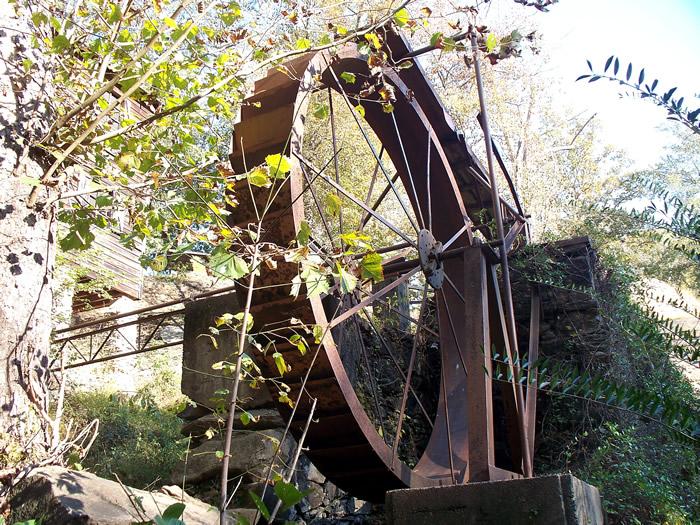
The waterwheel pictured from an angle below the wheel.
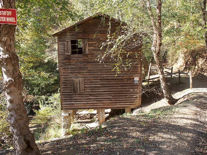
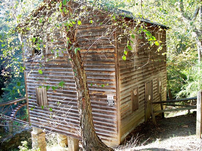
The mill structure just north of the easternmost parking lot.
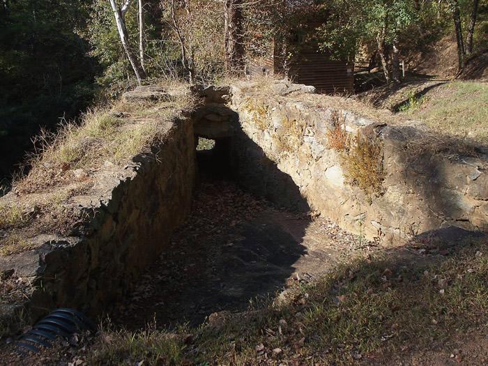
This collection basin collected water to funnel water down the sluice apron to the overshot wheel.
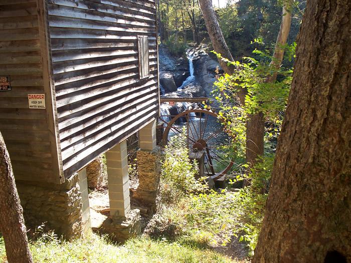
The old wheel actually washed out in 1916, after only ten years of use. It was replaced with a turbine which powered the mill from then on to 1941, when it ceased operating.
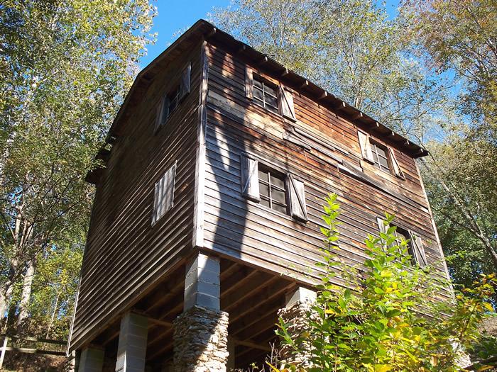
The mill, rebuilt in 1982 when it was made into a park, from below the mill about where the waterwheel is located. . The mill remained in operation by Mr. Meytre until 1941, when he became too old to operate the mill without the help of younger men. These men were very hard to obtain, as most were being called to serve in the war effort from 1940-194
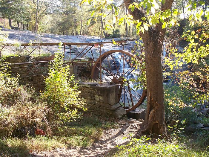
The lower portion of the sluice apron as it ends over the large waterwheel. Meytre operated the mill until 1941, grinding corn for corn meal, wheat for flour, and operating a hammer mill for livestock feed production.
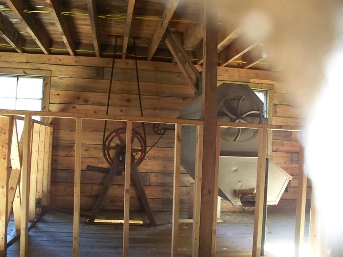
A shot of the interior through a window or knothole.
This area of North Carolina was settled by a religious order known as Waldenseans. These were free Christian of France, who in the 19th century, established refuge in northern Italy, after enduring centuries of persecution in France. GPS: 35' 45.93'N, 81' 34.11'WEle. 1,093'/333 meters Drexel Quadrangle