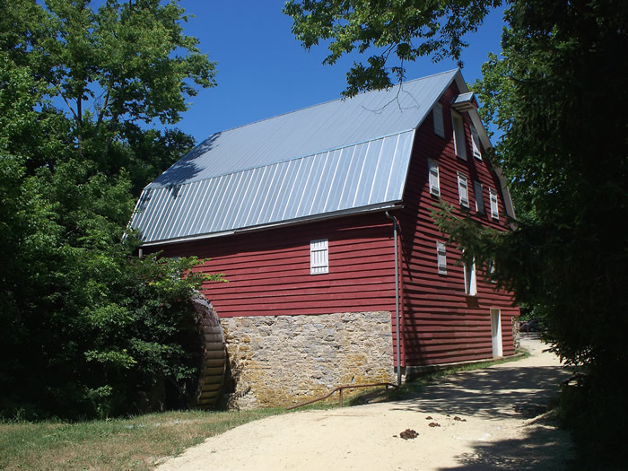
McMahon's Mill / Charles Mill
Washington Co. | Maryland | USA
Watersource: Downy Branch Spring of Big Slack Water.
McMahon's Mill / Charles Mill
At the end of Avis Mill Rd. From Williamsport, go south on Md 63 about 1.5 miles to Md 632 (Dam #4 Road). Turn right and go a short distance to Avis Mill Road on the left. Drive to the end of the road. The mill is on the right.

This mill was built c. 1778. This picture is the typical one seen of this mill.
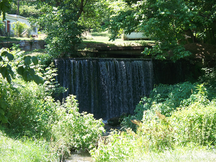
At one time the mill was owned by a man named Avis and was known as Shaffer's Old Flowering (Flouring) Mill. The falls on the stream feeding the water-powered mechanisms of the mill.
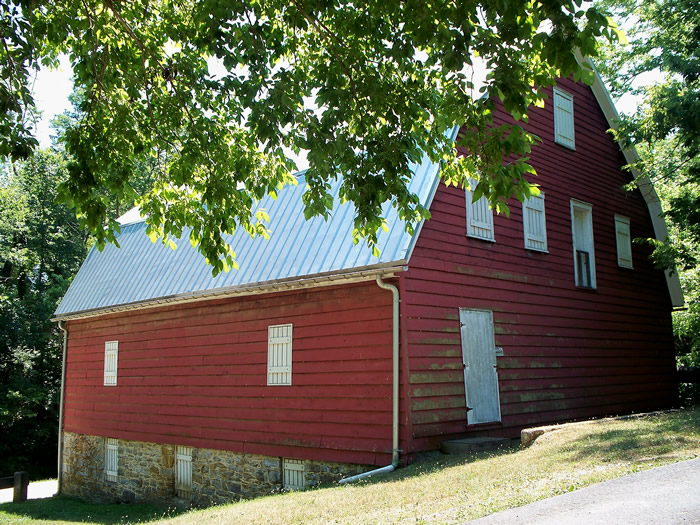
At this time the mill produced flour, feed, and plaster. The photo shows the rear facade of the mill.
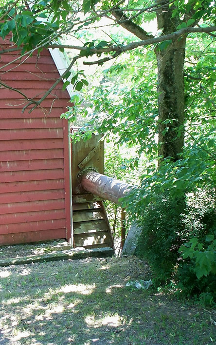
Another name for the mill was Cedar Grove Mill. In 1814 it was owned by Benjamin Galloway. The penstock bring water power to the distribution box above the steel overshot wheel.
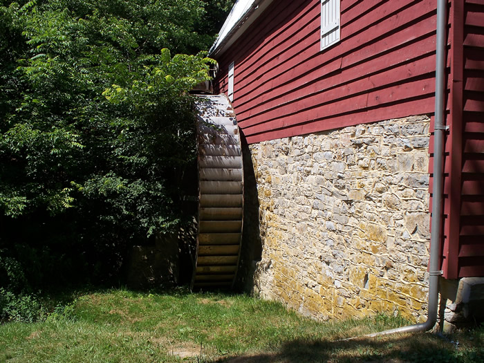
The mill stones were on the second floor and driven by a 24' diameter wooden, overshot waterwheel. The present steel waterwheel is shown in its mount.
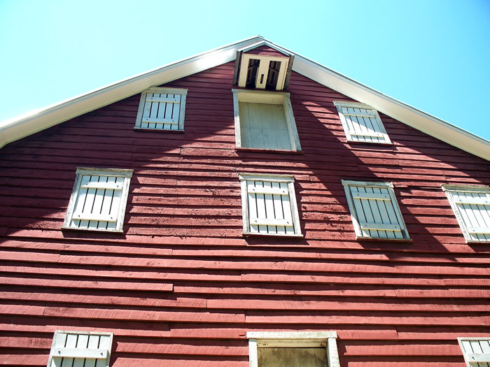
This wooden wheel was later replaced by a 24' Fitz overshot Wheel, still intact in 2010. A view of the front, looking up at the catshead/sack hoist.
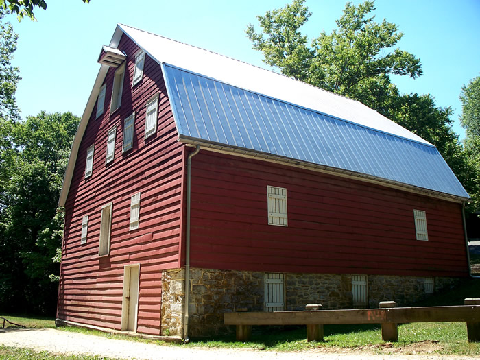
All other equipment has been removed. The mill was closed in 1922 following a devastating flood.
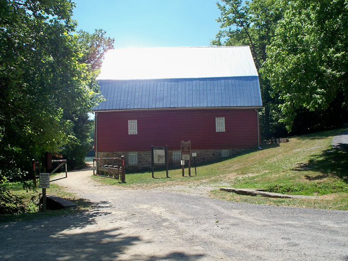
The National Park Service acquired the mill c. 1976. GPS: 77' 49.24W, 39' 31.50N