
Laudermilk Mill / Short's Mill / Tumlin's mill
Habersham Co. | Georgia | USA
Watersource: Little Hazel Creek.
Laudermilk Mill / Short's Mill / Tumlin's mill
About 3-4 miles SE of Clarksville on Sh 197, about half way between Clarksville and Mt. Airy on the south bank of Hazel Creek at the community of Shorts Mill.
View Larger Map

Old country mill probably of the mid 1800's, known at various times as Laudermilk Mill, Short's Mill and Tumlin's Mill.
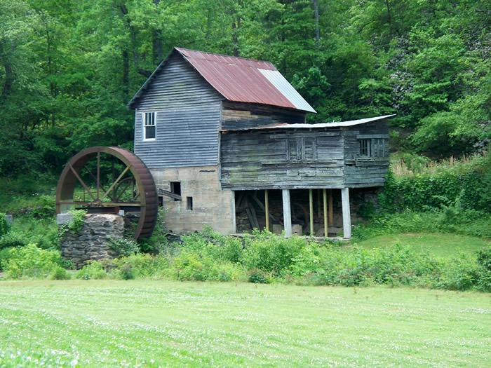
The mill ceased operations in 1970. More info needed.
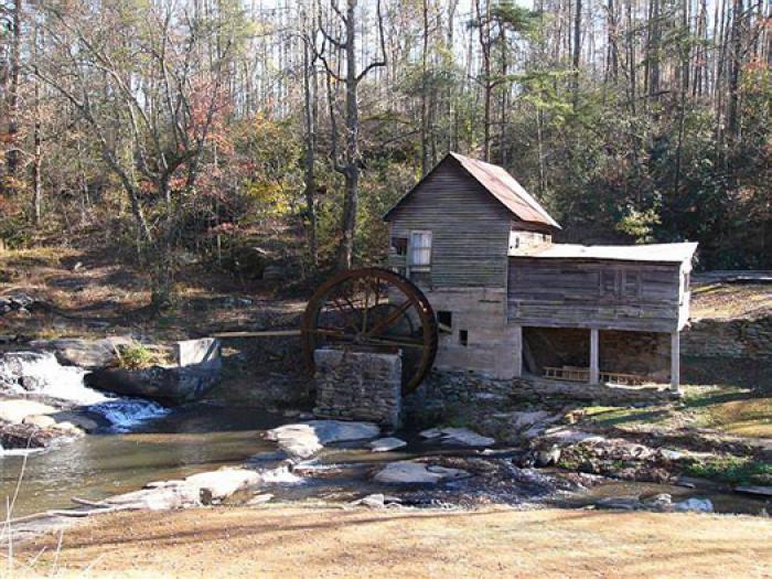
GPS: 34D 34.11'N, 83D 29.543'W ele 1,381'/421 meters Ayersville Quadrangle
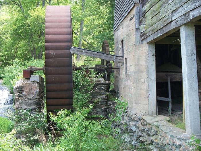
A close-up of the steel overshot waterwheel, not functional now as the supply system for the water is not in evidence.
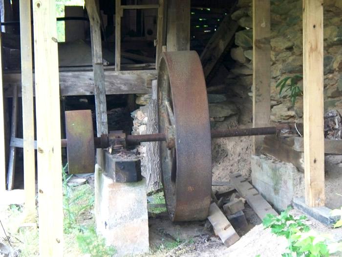
Some of the gearing mechanism of the mill, driven by the large waterwheel.
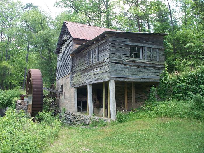
Almost a three-dimensional effect with the elevated section of the mill appearing to jut-out at one.
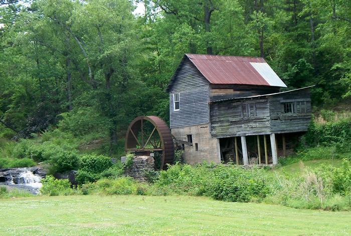
Nestled in a pleasant setting along the southern bank of Hazel Creek. Hazel Creek flows into the Soque River, which in turn flows into the Chattahoochee River.
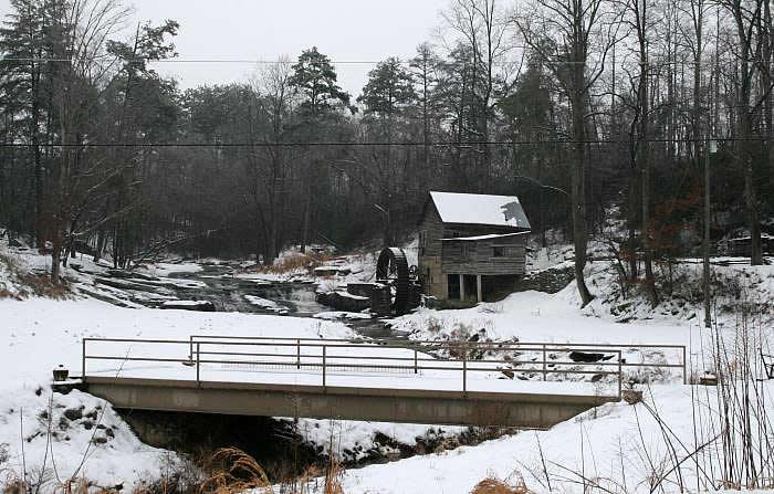
Short's Mill at Hazel Creek taken after a beautiful snow fall in February 2007.

Another winter view, but the power/telephone lines have been removed via a computer program.
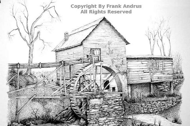
*Update: "I owe this picture to a good friend, Dave Ramsey, who took me to this little mill after he saw the type of work I did in pen and ink. The water trace was rotted and gone at the time of the drawing, but Dave and I kept looking for someone with an old picture of this mill which would help me be historically correct. About a year later we did find a black and white picture that provided the water trace as recorded in this drawing. Oddly the photograph found and the drawing I did were taken from the same perspective." Nancy Bedell 05/10/2007*