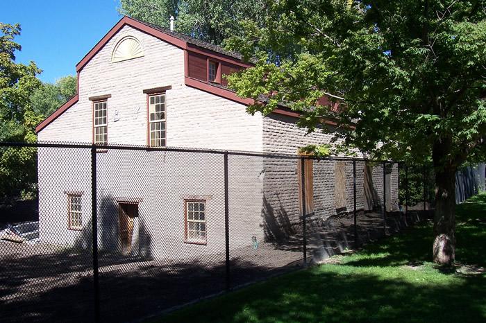
Isaac Chase Mill / Brigham Young's Lower Mill
Salt Lake Co. | Utah | USA
Watersource: Spring fed
Isaac Chase Mill / Brigham Young's Lower Mill
In Liberty Park, Salt Lake City, between S 500 & S 700 East and E 900 South & E 1300 South on an 80 acre plot.
View Larger Map

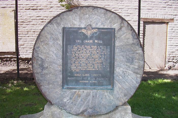
The Isaac Chase Mill was started in 1847 and completed in 1852, the mill is the oldest commercial building still standing in Utah. It was listed on the U.S. National Register of Historic Places in 1970
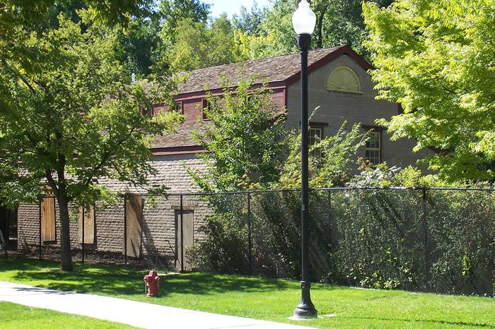
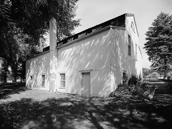
The mill was designed by architect William Weeks. Constructed by Frederick Kesler and/or Phares Wells, Sr. Free flour from the mill saved many families during the famine of 1856–1857. It is thought that a water wheel functioned on the north end or north end of the west side later replaced by two turbines. That would be to the right of the mill end in the photo or around the other side near this end. Mrs. Chase used to bake 16 loaves of bread at a time from the freshing ground flour.
Constructed of adobe brick and massive timbers, the walls, later stuccoed, now bowed out and were unsafe. Much earlier photo showed a timber framed-construction similar to erly British & Dutch/Flemish buildings. Brigham Young became Isaac Chase’s partner in the mill after two years of operation, in 1854. Brigham further cemented his relationship with Chase by marrying his step-daughter, Clarrisa Ross Chase in 1854. The mill was fitted with new machinery and Chase stayed on as miller for another six years; then, he traded his share in the mill to Brigham for a cabin in Centerville, Utah in 1859, where his son, George Ogden Chase and his family took up residence, building a larger house the next year.
Chase then became Young's superintendent, building mills throughout the LDS-church area. The mill went on to be known also as Brigham Young?s Lower Mill. John W. Young was the mill manager in 1871. Charles Henry Wilcken was engaged to operate ?the lower B. Y. mill, on Kanyon Creek [later called Liberty Park] in November 1873.? His family was nearly burned out within a week or so of moving to the mill and farm, results of religious unrest in the e=area concerning Mormonism, but Wilcken persevered and by the end of the year his white flour was being praised in the local press. Brigham already had a mill above this mill.
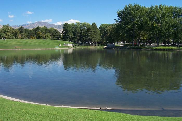
The Chase home is nearby, now a museum, and the lake in the park is the old millpond that used to furnish power to the mill. Isaac Chase, originally from New York State via Rhode Island, Vermont, was a captain of 50 in Jedediah M. Grant’s company, arriving in Salt Lake Valley from Navhoo, Illinois on Sept. 20, 1847. His daughter Louisa drove the ox team across the plains which brought the mill stones and mill irons, which were used in the manufacture of flour. The farm and buildings were purchased by the city in 1880 for $27,500 and the mill ceased to operate. There may have been sporatic milling after 1880, but the mill became mostly a storage shed for the city. Several efforts to demolish it were entertained, but none succeeded. The Daughter of Utah Pioneers began leasing the old shell for $1.00 a year in 1933.
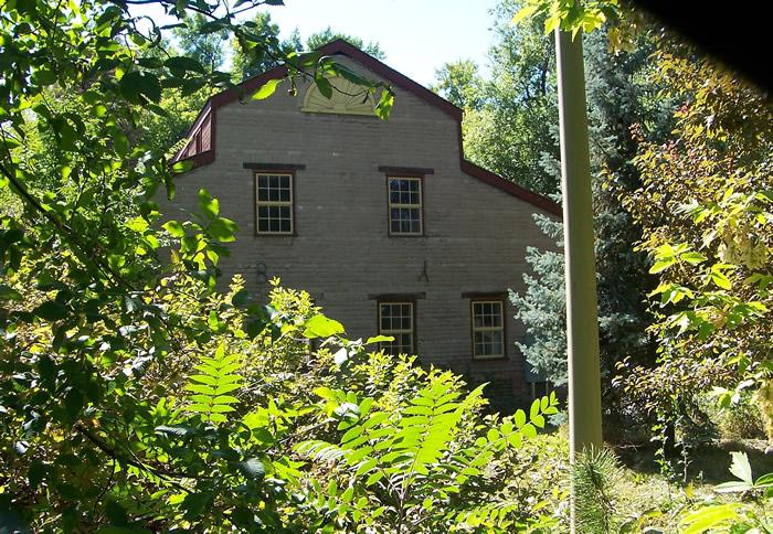
The north end, where the waterwheel may have functioned. The Mill Farm, Forest Park, and/or Locust Patch became known as Liberty Park soon after the Salt Lake City municipality purchased the then 80 acres. It was ultimately became a recreational area; playgrounds installed in 1912, teh millpond was converted into a beautiful lake, Hogle Zoo spent the first 19 years in the park, eventually moving to the mouth of Emigration Canyon in 1938.
The park also became a focal point for environmental issues. As early as 1908,foliage damage from smelter smoke led Mayor John Bransfords to crusade for cleaner air with the result that most of the smelters removed to a more remote area within the decade.
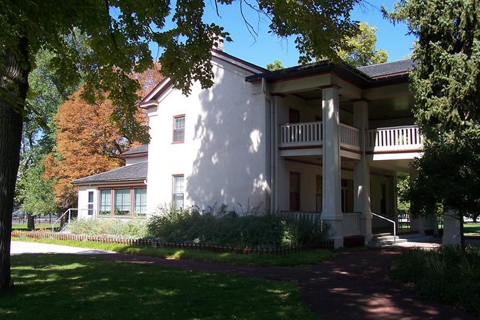
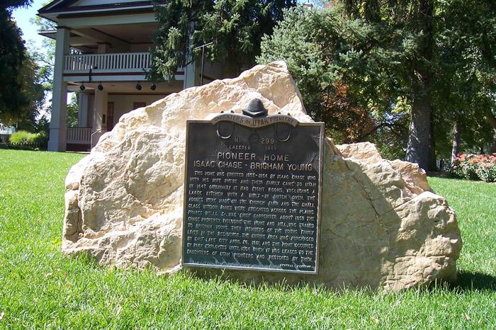
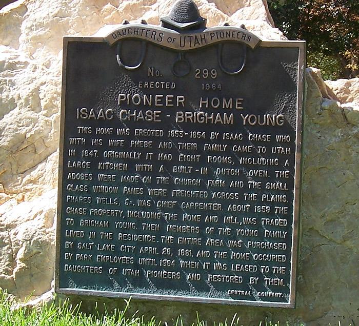
The Chase/Brigham Young Home, erected from 1853-54, is surrounded by locust trees brought from the midwest and also Cottonwood & mulberry trees, all planted by Chase.
Tracy Aviary was granted permission to renovate the deteriorating landmark in 2002. From 2002-06, the building was stabilized, utilizing a seismic upgrade; window, plumbing and electical systems were revamped; but it was only when more funding became available in 2006, that the building become a usable and sustainable historic building.GPS: 40' 44.6'N, 111' 52.47'W ele. 4,281'/1,305 meters Sugar House Quadrangle