Conestoga Feed Mill / Mellinger's Mill / H.H. Steman Mill
Lancaster Co. | Pennsylvania | USA
Watersource: Conestoga Creek.
Conestoga Feed Mill / Mellinger's Mill / H.H. Steman Mill
From N. Prince St. in Millersville, Pa. go west about 0.25 miles, turn left on S. Duke St. for 0.25 miles, turn right on Walnut Hill. In about 0.5 miles, Walnut Hill turns left at junc. with Sun Lane. Procede for about 1.5 miles, Rockhill Road branches off to the left, stay right another 0.6, Stehmans Church Road veers to the left, stay right on Walnut Hill Rd., the mill is down on the right before crossing the creek, then turn right on the other section of Stehmans Church Road to see the other side of the mill.
View Larger Map

There is some indication that the mill may have been there as early as 1792, but definitely was built by 1818 and being operated by John & Benjamin Mellinger. Listed for sale in 1845 by the Orphan's Court of Lancaster County as a 42'X 56' three story stone mill.

D. Linton offered it for sale in 1858, then C.B. & P. Herr sold to H.H. Steman(Stehman) in 1860. In 1864, it was C.B. & H.C. Herr's Mill and H.H. Stehman's from the early 1870's through 1902, when it burned and closed. The mill also had a fire in 1895. The mill was rebuilt as a 2.5 story structure used for a variety of things.

The mill was used as a flour & grist mill, also ground corn meal, and was a distillery/cider mill on occasion. The dam was located over 1500' upstream on the West Branch of the Conestoga Creek. The fall of 20 feet to the mill created sufficient power to turn two turbines and one overshot wheel, producing about 24 barrels of flour/day. the return tailrace was a mere 500' long.

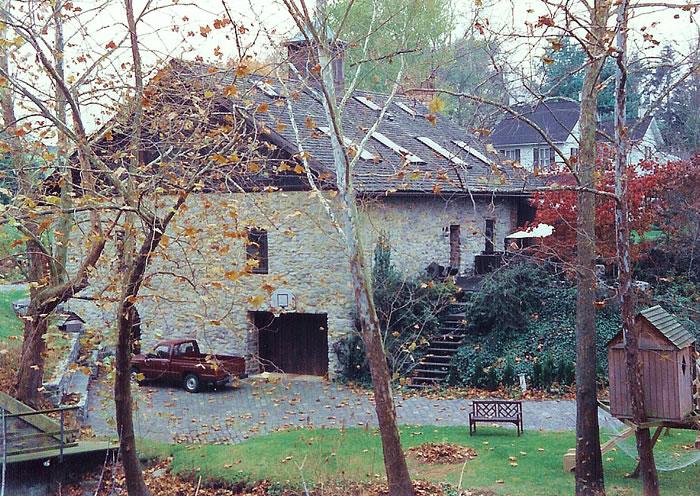
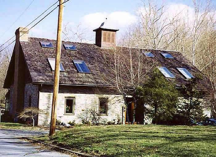
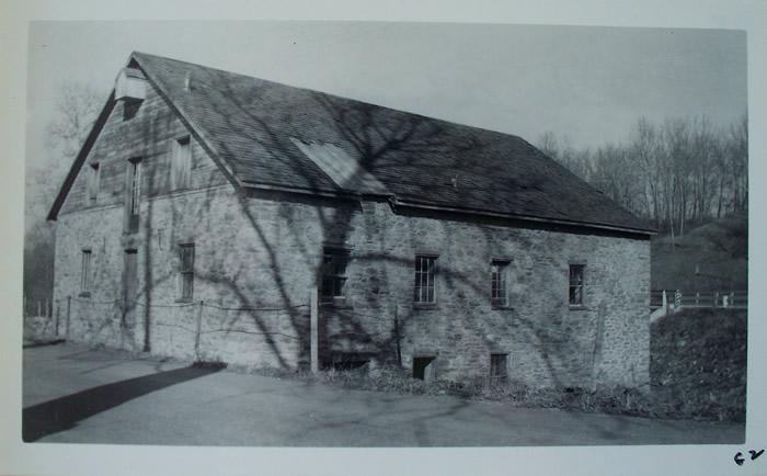
It was a second hand shop in an 1969 mill survey and was converted into residencial dwelling sometime in the 1980's. The home/former mill is in excellent repair. Photo by Elizabeth Shreiner, 1950's, with permission of Robtert G. Neuhauser.GPS: 39’ 58.25N, 76’ 22.51W 226'/69 meters Safe Harbor Quadrangle