SITE: Caplinger Mills
Cedar Co. | Missouri | USA
Watersource: Sac River.
SITE: Caplinger Mills
Go 23 miles east on US 54, of Nevada at Us 71, to Cedar Springs, turn right on Mo 39, go 11 miles to Sh N, turn left and go 3 miles to Caplinger Mills. Thr mill is on the eastern edge of the small community on the Sac River.
The mill ruins are at on end of the steel truss bridge while the concrete powerhouse is at the east edge.
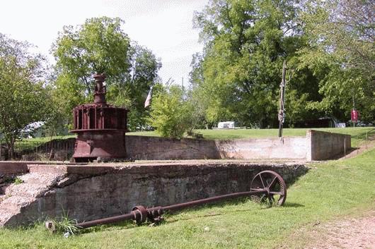
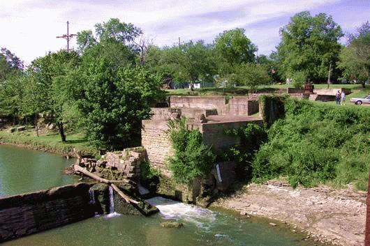
The flour mill washed away, but the foundations, the race, and main bevel gears are intact. A large turbine rests on the floor of the mill.
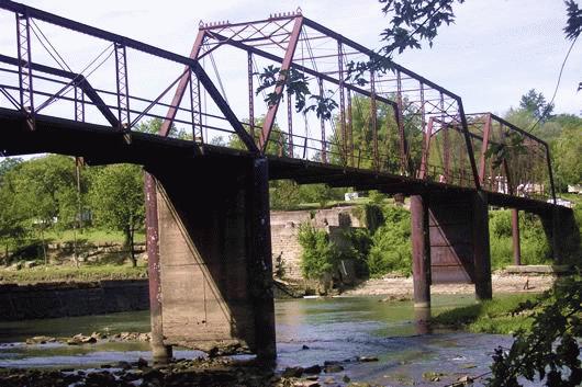
The bridge is only for pedestian foot traffic, so a separate road from Sh N leads to the other side of the bridge.
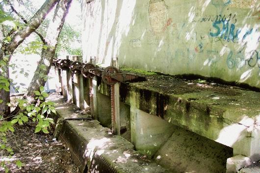
The powerhouse at the eastern edge of the steel truss bridge. The steel bridge has two large, high spans on the western end, and two lower steel spans on the eastern end. The gearing and bar screens for the powerhouse are in place, but probably not operatable.
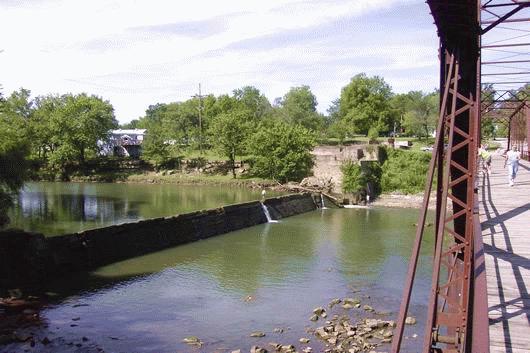
An overall view of the dam, mill ruins, and Sac River from the bridge over the Sac River. **Photos: September 5, 2004 Jim Miller**