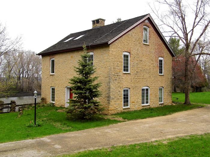
Brown's Mill
Stephenson Co. | Illinois | USA
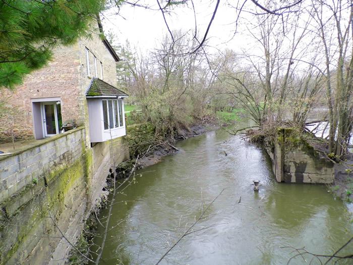
Watersource: Pecotonica River.
Brown's Mill
Less than a mile east of the split-off of Bus US 20 from Us 20, S. Brown?s Mill Road goes north. Take the road to the end, about a mile, and park at the widened turn-around. The left lane through the gate leads to the mill.
View Larger Map
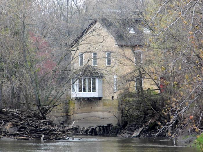
A grain mill, built by C.W.Brown after 1857 at the site, outlived the sawmill, which was built in 1852.
Although named after C. W. Brown, E. S. Hanchett constructed a stone dam for Brown’s Mill in 1852. The dam and sawmill was sold in 1857 to C. W. Brown.
The mill was closed in 1903, but opened again in 1908, when A. J. Goddard converted it to an electrical plant to power streetcars and the interurban railroad.
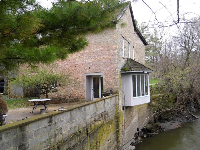
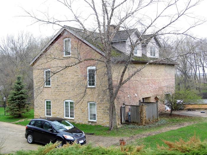
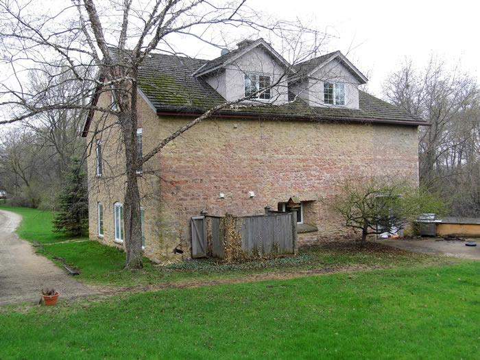
A fire in 1950 nearly destroyed the structure. It was rescued, and the remains converted to a home. It is my belief that it was lowered by at least one story in the process of conversion.
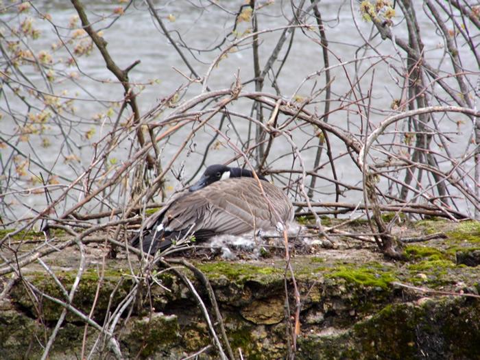
This Canada goose was nesting on some remains of the Brown's Mill dam, about 20 feet from the mill.
The goose nest was on the concrete abutment on the right.
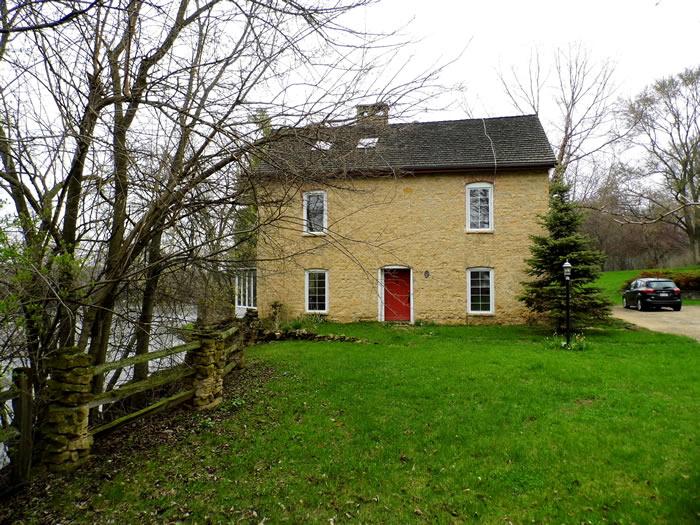
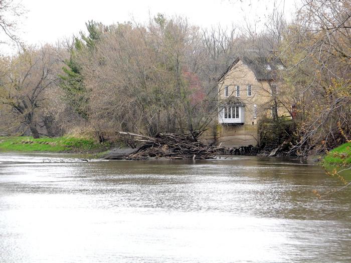
The mill is now a private family dwelling. This was the final dam on the Pecatonica River in Stephenson County, the former village of Pecatonica could lay claim to the last dam on the Pecatonica River.
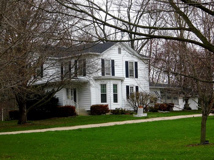
The large, frame house on the right -hand lane back from the turn-around is presumably the miller's/owners house when the mill operated.
A view of the mill from further out S. Brown's Mill Road.
The left lane through the gate leads to the mill. Walk down and ask for permission to look around and take photos.GPS: 42D 17.11'N, 89D 31.09'W ele 761'/232 meters Freeport East Quadrangle.