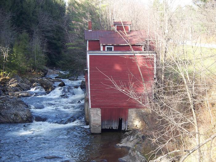
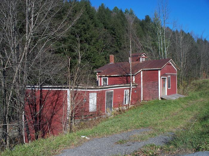
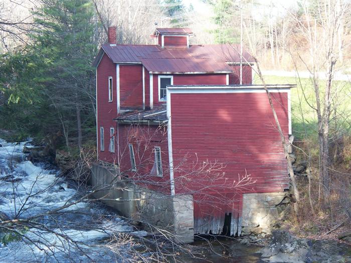
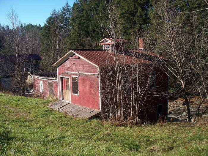
Johnson Power Co.
| Vermont | USA
Watersource:
Johnson Power Co.
From Rt. 15 in the town of Johnson, go north on Rt. 100C for 0.4 miles to the Power House. It sits about 200' north of the Power House Covered Bridge. Both are on the west side of the road.
View Larger Map
Today, the building is an obsolete hydroelectric generating plant.
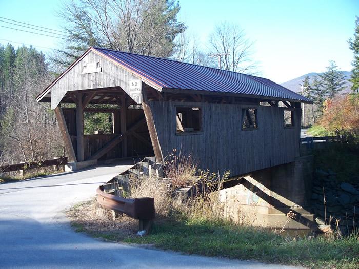
The 1870 single span, 62', Queen Truss covered bridge just south of the power plant over the Gihon River. In 2000, the bridge was destroyed by a heavy snow load. The roof collapsed and the side walls fell outward into the river below. Because of the installation of the steel I beams, the deck was self-supporting and actually survived. Guardrails were put up on the sides of the deck to keep the bridge open while its fate was decided. In 2002, the contracting company of Blow & Cote was hired to reconstruct the bridge, which was reopened on June 29, 2002. source-Wikipedia
GPS: 44D 38.2'N, 72D 40.21'W ele. 548'/167 meters Johnson Quadrangle