Miller Mill
Burke Co. | North Carolina | USA
Watersource: Abee Creek near confluence with Henry's Fork, Sout
Miller Mill
From Hickory, go west on I-40 to exit 116 (the Icard exit). Turn left and go under I-40. At the first intersection turn right onto Miller Bridge Road and go 3.7 miles to the bridge over Henry's Fork of South Fork of Catawba River. Cross the bridge and turn left on Miller Mill Road. In about 200 yards the mill will be on the right.
View Larger Map
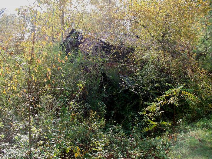
The mill is hard to see because of surrounding brush.
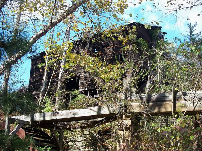
The elevated flume delivered water from Abee Creek to the large steel, overshot wheel.
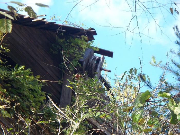
An end of a lineshaft with a wooden flywheel type pulley attached. It may also have been configuired to operated as a sack hoist.
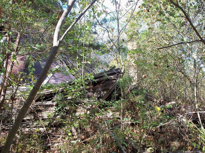
About half of the mill structure has collapsed from neglect and ravages of weather.
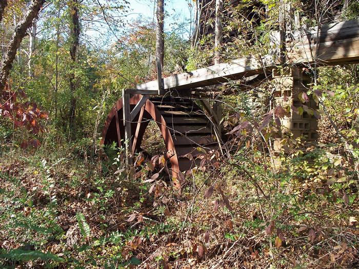
A closer view of the steel overshot wheel, measuring about 12' diameter by 3' in width.
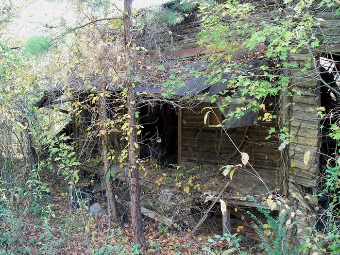
The front end of the mill with a falling down porch roof.
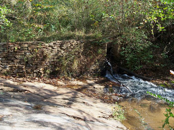
The dam has broken through in the center.GPS: 35' 40.68'N, 81' 29.61'W ele. 1,017'/310 meters Longview Quadrangle
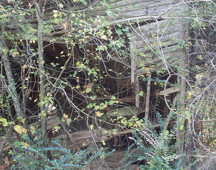
part of the side of the mill with a visible millstone set inside.