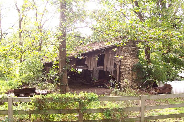
Jackson's Saw Mill ruins
Lancaster Co. | Pennsylvania | USA
Watersource: West Branch of the Octoraro Creek.
Jackson's Saw Mill ruins
The sawmill ruins are due east of Quarryville in the southwest corner of Bart Twp. Take Pa 372 east from Quarryville for 3-4 miles to Mount Pleasant Road. Turn right onto Mt. Pleasant and drive to the covered bridge, about 1.5 miles. The mill is on the left just before the bridge.
View Larger Map
This mill was on the site of an earlier paper mill which burned about 1800.
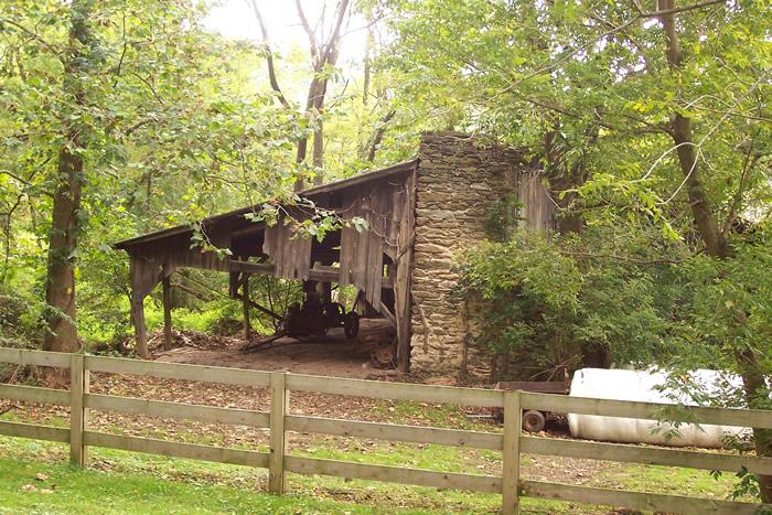
The ruins of one of the walls to the 1815 Bart Mill built by James Caldwell, a 30’ x 50’ stone grist mill were part of the ruins of the frame Jackson’s Saw Mill in 1994.
Caldwell owned the grist mill from 1815-1824 on the West Branch of the Octoraro Creek. Later owners were Morris Kern, 1852; Benjamin Eshleman, 1856; Boone & Harley, 1864; David Jackson, 1870-1899; & Lenwood Jackson in 1900.
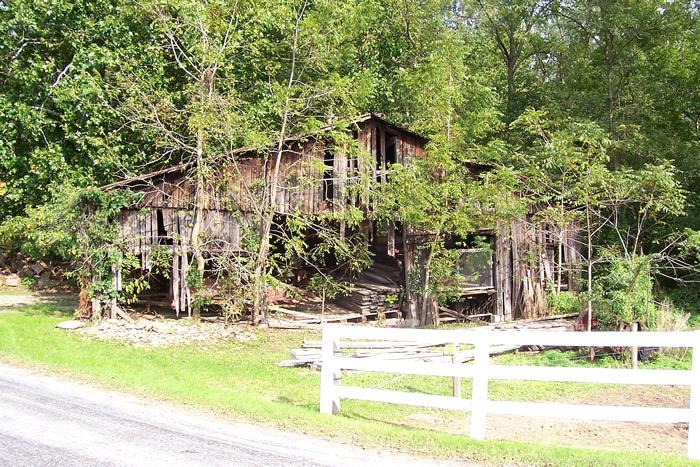
The mill closed in 1917 after a disasterous fire, leaving only a few stone walls standing. The frame sawmill must have been built after the fire and closing of the Bart Grist Mill.
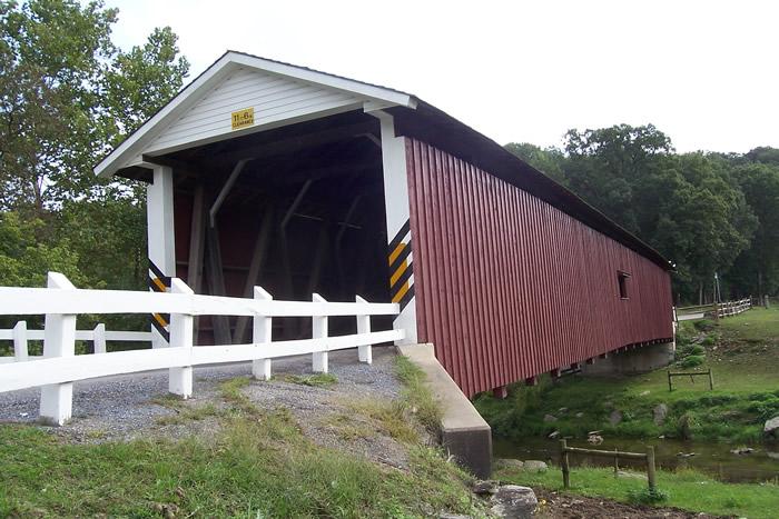
The single span, double Burr arch truss covered bridge by the sawmill is officially called West Octoraro #1 Bridge. The 143' span, deemed the only covered bridge in the county that dosen't cross the stream in a squared fashion, was built in 1878 by John Swmith and Samuel Stauffer and is maintained by Lancaster County.
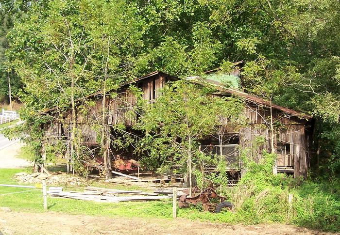
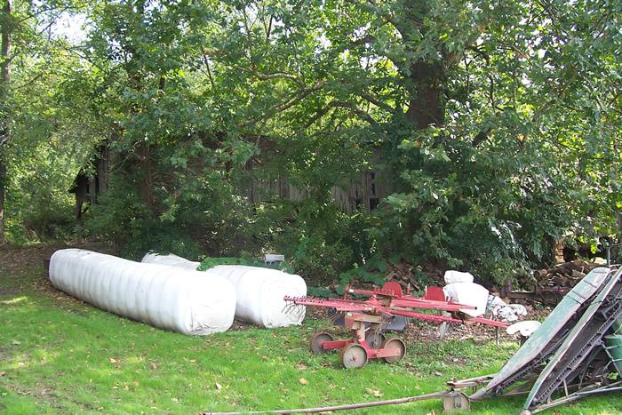
The bridge, also known as Eichelberger's Covered Bridge, was swept away by flood waters in 1986 and rebuilt, then was rehabbed in 2005. The mill looks to be gone in Google Street view map with a rubble stone pile and some odd junk farm equipment sattered about (2009); but, the rusty rook appears in the Google Earth view map.GPS: 39' 53.84N, 76 4.79W 554 feet'/169 meters Gap Quadrangle