Upper Rockydale Mill / Hoot's Mill
Bucks Co. | Pennsylvania | USA
Watersource: Ridge Valley Creek.
Upper Rockydale Mill / Hoot's Mill
Exit onto Sh 663/John Fies Hwy east from I-476 using exit 44. Go to Milford Square and take Allentown Road south for 6-7 miles through Trumbauersville and Ridge Valley. About 1/3rd mile south of Ridge Valley, turn right onto Upper Rockydale Road. Go about 1 mile or less to the mill ruins on the right side of the road, in edge of the woods, just past Ridge Valley Creek. You?ve gone to far if you come to Boulder Hill Road on the right.
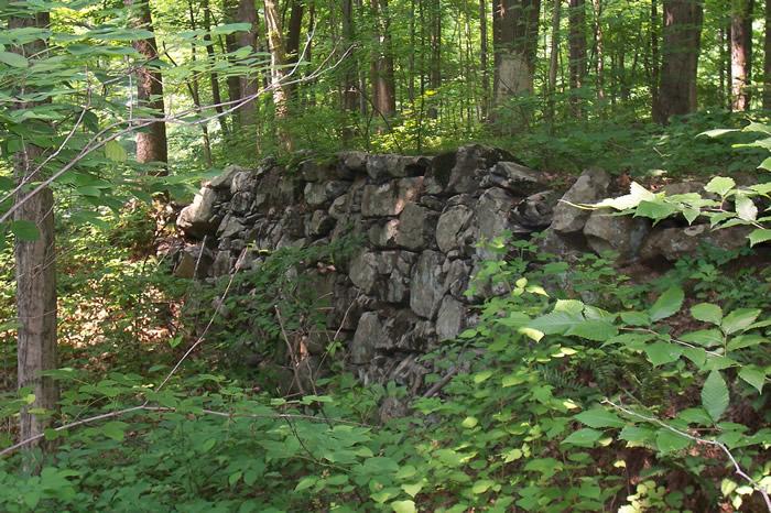
Some foundation remnants of the Upper Rockydale Mill.
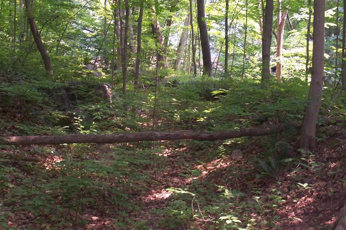
The opening in the woods that corresponds to the mills footprint.
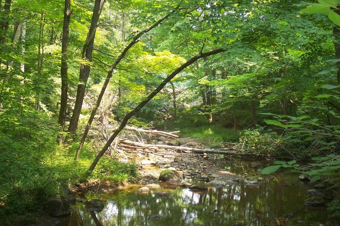
Ridge Valley Creek as seen from Upper Rockydale Road. Notice the rock/earth filled dam in the mid-background/lighted area.
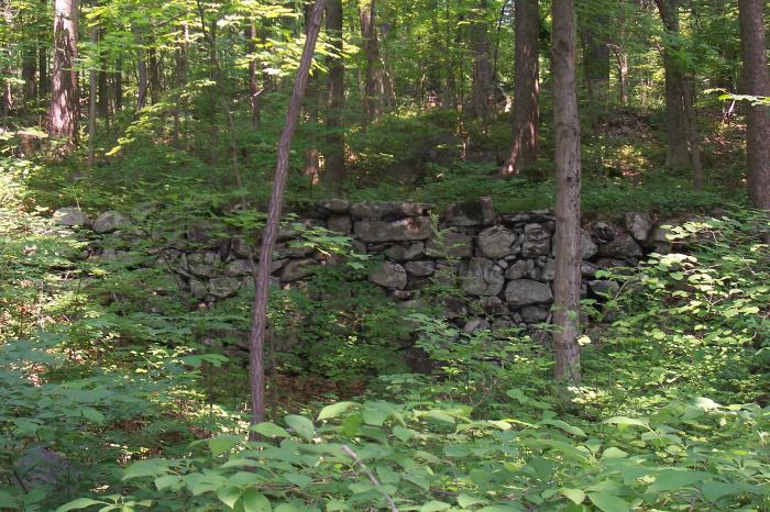
Another photo of mill foundation/millrace ruins. All photos taken by Jim Miller, 06/19/2007.GPS: 40? 22.46'N, 75? 23.41'W 459'/140 meters Perkiomenville Quadrangle
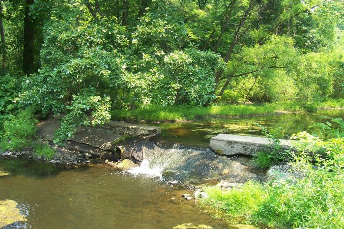
A dam about 1000 feet downstream of the Hoot's Dam, where Upper Rockydale Road again crosses Ridge Valley Creek, after passing Boulder Hill Road.